
Pagaspas topographic map
Interactive map
Click on the map to display elevation.
About this map
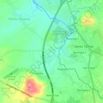
Name: Pagaspas topographic map, elevation, terrain.
Location: Pagaspas, Tanauan, Batangas, Calabarzon, 4232, Philippines (14.08580 121.11234 14.12580 121.15234)
Average elevation: 469 ft
Minimum elevation: 374 ft
Maximum elevation: 663 ft