
Lunawada topographic map
Interactive map
Click on the map to display elevation.
About this map
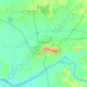
Name: Lunawada topographic map, elevation, terrain.
Location: Lunawada, Mahisagar District, Gujarat, 389230, India (23.08779 73.57084 23.16779 73.65084)
Average elevation: 312 ft
Minimum elevation: 217 ft
Maximum elevation: 591 ft