
Rossmoyne topographic map
Interactive map
Click on the map to display elevation.
About this map
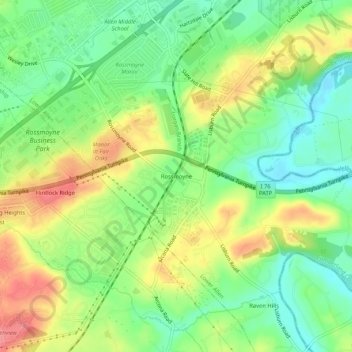
Name: Rossmoyne topographic map, elevation, terrain.
Location: Rossmoyne, Cumberland County, Pennsylvania, 17011-4403, USA (40.17731 -76.96386 40.21731 -76.92386)
Average elevation: 446 ft
Minimum elevation: 325 ft
Maximum elevation: 604 ft