
Mermentau topographic map
Interactive map
Click on the map to display elevation.
About this map
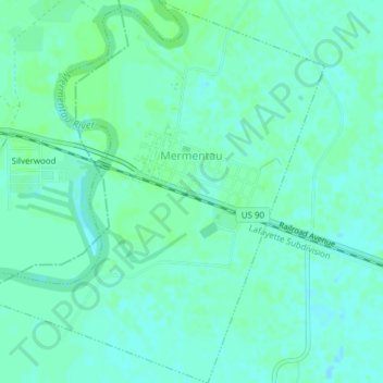
Name: Mermentau topographic map, elevation, terrain.
Location: Mermentau, Acadia Parish, Louisiana, United States (30.17050 -92.60388 30.20339 -92.56896)
Average elevation: 13 ft
Minimum elevation: 0 ft
Maximum elevation: 23 ft
Other topographic maps
Click on a map to view its topography, its elevation and its terrain.
Crowley
United States > Louisiana > Acadia Parish
Crowley, Acadia Parish, Louisiana, 70526, United States
Average elevation: 23 ft
Rayne
United States > Louisiana > Acadia Parish > Rayne
Rayne, Acadia Parish, Louisiana, 70578, United States
Average elevation: 30 ft
Church Point
United States > Louisiana > Acadia Parish > Church Point
Church Point, Acadia Parish, Louisiana, 70525, United States
Average elevation: 49 ft