
Sandl topographic map
Interactive map
Click on the map to display elevation.
About this map
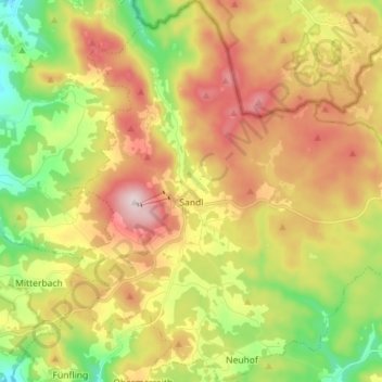
Name: Sandl topographic map, elevation, terrain.
Location: Sandl, Bezirk Freistadt, Oberösterreich, 4251, Österreich (48.51599 14.59671 48.61006 14.73820)
Average elevation: 2,976 ft
Minimum elevation: 2,388 ft
Maximum elevation: 3,638 ft