
北坊 topographic map
Interactive map
Click on the map to display elevation.
About this map
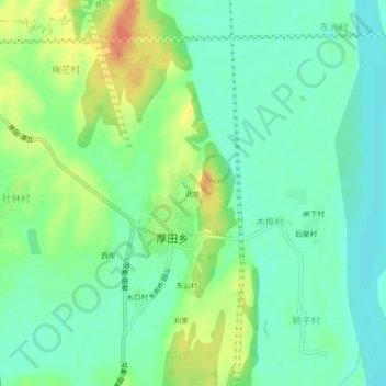
Name: 北坊 topographic map, elevation, terrain.
Location: 北坊, 厚田乡, 红谷滩区, 南昌市, 江西省, 中国 (28.44901 115.77523 28.48901 115.81523)
Average elevation: 92 ft
Minimum elevation: 36 ft
Maximum elevation: 194 ft