
Thank you for supporting this site ❤️
Make a donation
Make a donation
Gear up for your next adventure:
As an Amazon Associate, this site earns from qualifying purchases at no extra cost to you.
Umroi topographic map
Click on the map to display elevation.
Thank you for supporting this site ❤️
Make a donation
Make a donation
Gear up for your next adventure:
As an Amazon Associate, this site earns from qualifying purchases at no extra cost to you.
About this map
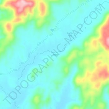
Name: Umroi topographic map, elevation, terrain.
Location: Umroi, Umsning, Ri-Bhoi District, Meghalaya, 793103, India (25.69389 92.01965 25.73389 92.05965)
Average elevation: 2,999 ft
Minimum elevation: 2,835 ft
Maximum elevation: 3,497 ft
Thank you for supporting this site ❤️
Make a donation
Make a donation
Gear up for your next adventure:
As an Amazon Associate, this site earns from qualifying purchases at no extra cost to you.