
Laguna Iniquilla topographic map
Interactive map
Click on the map to display elevation.
About this map
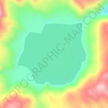
Name: Laguna Iniquilla topographic map, elevation, terrain.
Location: Laguna Iniquilla, R105, Ocuviri, Lampa, Puno, Perú (-15.09238 -70.93864 -15.07679 -70.92079)
Average elevation: 14,183 ft
Minimum elevation: 13,819 ft
Maximum elevation: 14,675 ft
Other topographic maps
Click on a map to view its topography, its elevation and its terrain.