
Warrington topographic map
Interactive map
Click on the map to display elevation.
About this map
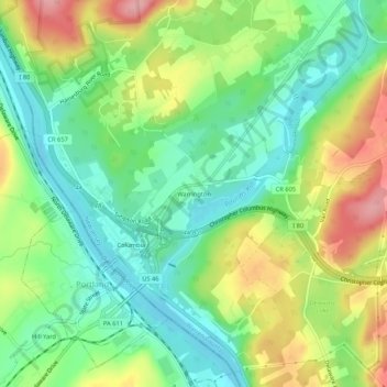
Name: Warrington topographic map, elevation, terrain.
Location: Warrington, Warren County, New Jersey, 18351, USA (40.91149 -75.10406 40.95149 -75.06406)
Average elevation: 417 ft
Minimum elevation: 259 ft
Maximum elevation: 669 ft