
Banda topographic map
Interactive map
Click on the map to display elevation.
About this map
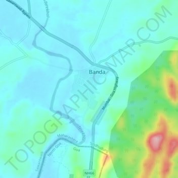
Name: Banda topographic map, elevation, terrain.
Location: Banda, Sindhudurg, Maharashtra, India (15.79190 73.84310 15.83190 73.88310)
Average elevation: 125 ft
Minimum elevation: 10 ft
Maximum elevation: 623 ft