
FFH-Gebiet Holmer Sandberge und Buttermoor topographic map
Interactive map
Click on the map to display elevation.
About this map
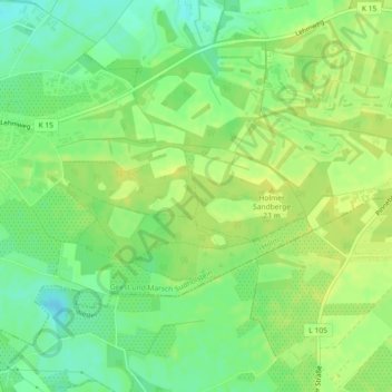
Name: FFH-Gebiet Holmer Sandberge und Buttermoor topographic map, elevation, terrain.
Average elevation: 52 ft
Minimum elevation: 13 ft
Maximum elevation: 75 ft