
Beacon Hill Country Park topographic map
Interactive map
Click on the map to display elevation.
About this map
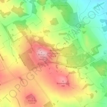
Name: Beacon Hill Country Park topographic map, elevation, terrain.
Average elevation: 535 ft
Minimum elevation: 243 ft
Maximum elevation: 810 ft