
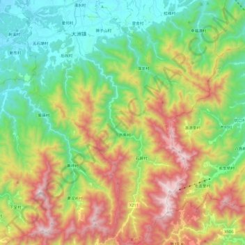
大洲镇 topographic map
Interactive map
Click on the map to display elevation.
About this map
Name: 大洲镇 topographic map, elevation, terrain.
Location: 大洲镇, Qujiang District, Quzhou, Zhejiang, China (28.71103 118.93467 28.89884 119.09550)
Average elevation: 1,893 ft
Minimum elevation: 243 ft
Maximum elevation: 4,659 ft