
Hundelgem topographic map
Interactive map
Click on the map to display elevation.
About this map
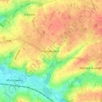
Name: Hundelgem topographic map, elevation, terrain.
Location: Hundelgem, Oudenaarde, Oost-Vlaanderen, Vlaanderen, 9630, België (50.86915 3.73529 50.90915 3.77529)
Average elevation: 141 ft
Minimum elevation: 49 ft
Maximum elevation: 203 ft