
Fortios topographic map
Interactive map
Click on the map to display elevation.
About this map
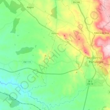
Name: Fortios topographic map, elevation, terrain.
Location: Fortios, Portalegre, Alto Alentejo, Alentejo, Portugal (39.23057 -7.54480 39.36838 -7.44427)
Average elevation: 1,224 ft
Minimum elevation: 682 ft
Maximum elevation: 2,385 ft