
Djelfa topographic map
Interactive map
Click on the map to display elevation.
About this map
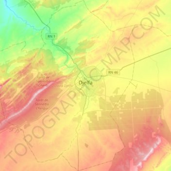
Name: Djelfa topographic map, elevation, terrain.
Location: Djelfa, Djelfa District, Djelfa, Algeria (34.52510 3.06894 34.80481 3.35258)
Average elevation: 3,917 ft
Minimum elevation: 3,077 ft
Maximum elevation: 4,862 ft