
Corozal topographic map
Interactive map
Click on the map to display elevation.
About this map
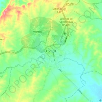
Name: Corozal topographic map, elevation, terrain.
Location: Corozal, Montes de María, Sucre, Colombia (9.27924 -75.33473 9.35924 -75.25473)
Average elevation: 545 ft
Minimum elevation: 413 ft
Maximum elevation: 801 ft