
Malhada Sorda topographic map
Interactive map
Click on the map to display elevation.
About this map
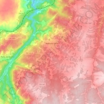
Name: Malhada Sorda topographic map, elevation, terrain.
Location: Malhada Sorda, Almeida, Guarda, Portugal (40.48789 -6.95190 40.57053 -6.85109)
Average elevation: 2,546 ft
Minimum elevation: 1,969 ft
Maximum elevation: 2,792 ft