
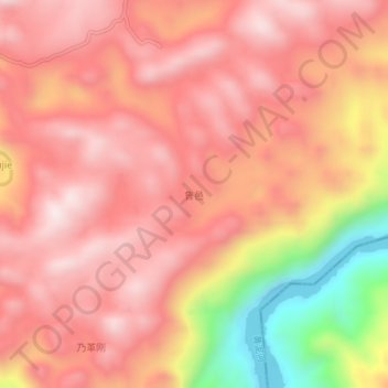
鲁邑 topographic map
Interactive map
Click on the map to display elevation.
About this map
Name: 鲁邑 topographic map, elevation, terrain.
Location: 鲁邑, 罗平县, 曲靖市, 云南省, 中国 (24.95970 104.63400 24.99970 104.67400)
Average elevation: 5,089 ft
Minimum elevation: 3,678 ft
Maximum elevation: 5,748 ft