
Fornelos topographic map
Interactive map
Click on the map to display elevation.
About this map
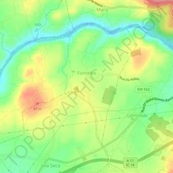
Name: Fornelos topographic map, elevation, terrain.
Location: Fornelos, Barcelos, Braga, Portugal (41.50167 -8.70555 41.52464 -8.66382)
Average elevation: 148 ft
Minimum elevation: -10 ft
Maximum elevation: 338 ft