
12L topographic map
Interactive map
Click on the map to display elevation.
About this map
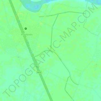
Name: 12L topographic map, elevation, terrain.
Location: 12L, Maddipadu, Prakasam, Andhra Pradesh, 523211, India (15.61644 80.02914 15.61659 80.02918)
Average elevation: 56 ft
Minimum elevation: 30 ft
Maximum elevation: 62 ft