
Ottendé topographic map
Interactive map
Click on the map to display elevation.
About this map
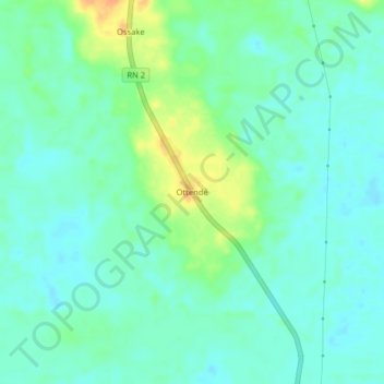
Name: Ottendé topographic map, elevation, terrain.
Location: Ottendé, Owando, Cuvette Department, Congo-Brazzaville (-0.60221 15.86542 -0.56221 15.90542)
Average elevation: 1,066 ft
Minimum elevation: 1,030 ft
Maximum elevation: 1,148 ft