
黄龙潭 topographic map
Interactive map
Click on the map to display elevation.
About this map
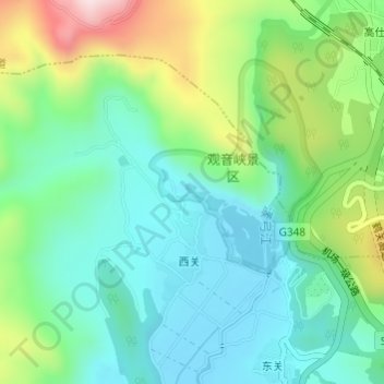
Name: 黄龙潭 topographic map, elevation, terrain.
Location: 黄龙潭, 七河镇, 古城区, 丽江市, 云南省, 中国 (26.76830 100.26411 26.76948 100.26574)
Average elevation: 7,697 ft
Minimum elevation: 7,306 ft
Maximum elevation: 8,619 ft
Other topographic maps
Click on a map to view its topography, its elevation and its terrain.