
Saubach topographic map
Interactive map
Click on the map to display elevation.
About this map
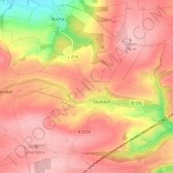
Name: Saubach topographic map, elevation, terrain.
Average elevation: 827 ft
Minimum elevation: 430 ft
Maximum elevation: 1,020 ft
Other topographic maps
Click on a map to view its topography, its elevation and its terrain.
Saubach
Deutschland > Sachsen-Anhalt > Burgenlandkreis > Finneland > Saubach
Saubach, Finneland, An der Finne, Burgenlandkreis, Sachsen-Anhalt, 06647, Deutschland
Average elevation: 843 ft