
Aquinnah topographic map
Interactive map
Click on the map to display elevation.
About this map
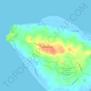
Name: Aquinnah topographic map, elevation, terrain.
Location: Aquinnah, Dukes County, Massachusetts, 02525, United States (41.32372 -70.83475 41.36372 -70.79475)
Average elevation: 30 ft
Minimum elevation: -16 ft
Maximum elevation: 167 ft