
Zrenjanin City topographic map
Interactive map
Click on the map to display elevation.
About this map
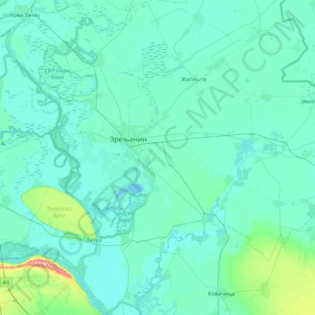
Name: Zrenjanin City topographic map, elevation, terrain.
Average elevation: 272 ft
Minimum elevation: 223 ft
Maximum elevation: 863 ft
Other topographic maps
Click on a map to view its topography, its elevation and its terrain.
Nova Crnja Municipality
Serbia > Vojvodina > Central Banat Administrative District
Nova Crnja Municipality, Central Banat Administrative District, Vojvodina, Serbia
Average elevation: 253 ft
Jarkovac
Serbia > Vojvodina > Central Banat Administrative District > Secanj Municipality
Jarkovac, Secanj Municipality, Central Banat Administrative District, Vojvodina, Serbia
Average elevation: 256 ft
Zrenjanin
Serbia > Vojvodina > Central Banat Administrative District > Zrenjanin City
Zrenjanin, Zrenjanin City, Central Banat Administrative District, Vojvodina, Serbia
Average elevation: 259 ft