
Tamtert topographic map
Interactive map
Click on the map to display elevation.
About this map
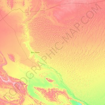
Name: Tamtert topographic map, elevation, terrain.
Location: Tamtert, Daïra Béni Abbès, Béni Abbès, Algérie (29.39435 -2.12599 30.85884 -0.91612)
Average elevation: 1,811 ft
Minimum elevation: 1,033 ft
Maximum elevation: 2,795 ft