
Bennasser Benchohra topographic map
Interactive map
Click on the map to display elevation.
About this map
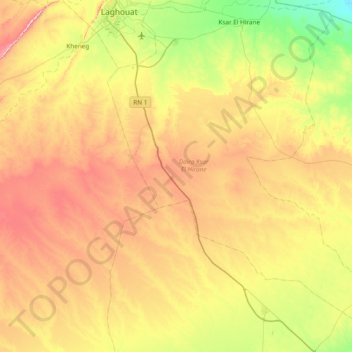
Name: Bennasser Benchohra topographic map, elevation, terrain.
Location: Bennasser Benchohra, Daïra Ksar El Hirane, Laghouat, Algérie (33.19212 2.85527 33.82660 3.49023)
Average elevation: 2,661 ft
Minimum elevation: 2,156 ft
Maximum elevation: 3,356 ft