
Lac Duhamel topographic map
Interactive map
Click on the map to display elevation.
About this map
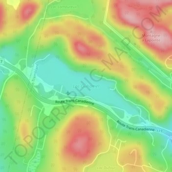
Name: Lac Duhamel topographic map, elevation, terrain.
Average elevation: 1,024 ft
Minimum elevation: 715 ft
Maximum elevation: 1,378 ft
Other topographic maps
Click on a map to view its topography, its elevation and its terrain.
Lac Desmarais
Canada > Québec > Les Laurentides > Mont-Tremblant
Lac Desmarais, Mont-Tremblant, Les Laurentides, Laurentides, Québec, Canada
Average elevation: 968 ft
Pic Johannsen
Canada > Québec > Les Laurentides > Mont-Tremblant
Pic Johannsen, Mont-Tremblant, Les Laurentides, Laurentides, Québec, J8E 1E2, Canada
Average elevation: 2,392 ft