
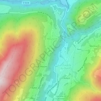
Le Moutaret topographic map
Interactive map
Click on the map to display elevation.
About this map
Name: Le Moutaret topographic map, elevation, terrain.
Average elevation: 2,044 ft
Minimum elevation: 1,066 ft
Maximum elevation: 3,678 ft
L'été présente des périodes chaudes, mais modérées par l'effet de l'altitude. Les hivers de ces dix dernières années ont connu des enneigements constants.