
La Playa topographic map
Interactive map
Click on the map to display elevation.
About this map
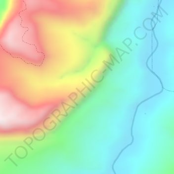
Name: La Playa topographic map, elevation, terrain.
Location: La Playa, Sardinata, Norte, Norte de Santander, Colombia (8.25709 -72.76791 8.27709 -72.74791)
Average elevation: 1,257 ft
Minimum elevation: 440 ft
Maximum elevation: 2,490 ft