
Woodville Hills topographic map
Interactive map
Click on the map to display elevation.
About this map
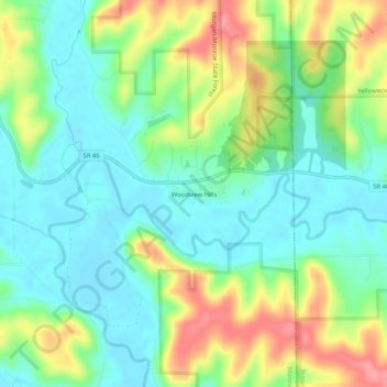
Name: Woodville Hills topographic map, elevation, terrain.
Location: Woodville Hills, Monroe County, Indiana, USA (39.13033 -86.40333 39.17033 -86.36333)
Average elevation: 643 ft
Minimum elevation: 535 ft
Maximum elevation: 837 ft