
N’Guigmi topographic map
Interactive map
Click on the map to display elevation.
About this map
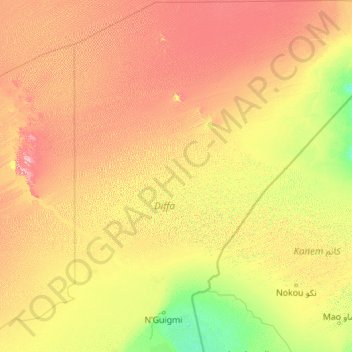
Name: N’Guigmi topographic map, elevation, terrain.
Location: N’Guigmi, Diffa, Niger (13.77030 11.91200 18.01550 15.55942)
Average elevation: 1,224 ft
Minimum elevation: 889 ft
Maximum elevation: 2,192 ft
Other topographic maps
Click on a map to view its topography, its elevation and its terrain.