
达智 topographic map
Interactive map
Click on the map to display elevation.
About this map
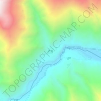
Name: 达智 topographic map, elevation, terrain.
Location: 达智, 加玉乡, 隆子县, 山南市, 西藏自治区, 中国 (28.27639 92.66406 28.31639 92.70406)
Average elevation: 12,451 ft
Minimum elevation: 10,935 ft
Maximum elevation: 15,482 ft
Other topographic maps
Click on a map to view its topography, its elevation and its terrain.