

Dillenburg topographic map
Click on the map to display elevation.
Dillenburg
Nanzenbach lies approximately 6 km north of the main town of Dillenburg. The tallest mountain of Dillenburg, the Eschenburg at an elevation of 589 m, is part of the Nanzenbach area.
About this map
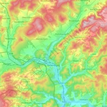
Name: Dillenburg topographic map, elevation, terrain.
Location: Dillenburg, Lahn-Dill-Kreis, Hesse, Germany (50.70545 8.20416 50.80417 8.39238)
Average elevation: 1,224 ft
Minimum elevation: 679 ft
Maximum elevation: 1,932 ft