
Brusson topographic map
Interactive map
Click on the map to display elevation.
About this map
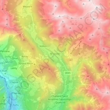
Name: Brusson topographic map, elevation, terrain.
Location: Brusson, Valle d'Aosta, 11022, Italia (45.71612 7.67126 45.79970 7.82389)
Average elevation: 5,728 ft
Minimum elevation: 1,237 ft
Maximum elevation: 9,984 ft