Geolocate

Kuya topographic map

Click on the map to display elevation.

About this map
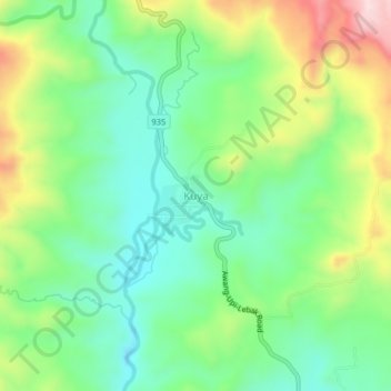
Name: Kuya topographic map, elevation, terrain.

Location: Kuya, South Upi, Maguindanao del Sur, Bangsamoro, Philippines (6.77222 124.13216 6.81222 124.17216)

Average elevation: 876 ft

Minimum elevation: 449 ft

Maximum elevation: 1,680 ft

Gear up for your next adventure:

🔥Plasma Lighters - Windproof lighters that work in any weather condition
🧦Merino Wool Socks - Moisture-wicking, blister-preventing socks for long treks
📷Action Camera - Capture your outdoor adventures in HD
🎒Trekking Poles - Sturdy poles for balance and stability on rough terrain
💧Water Purification System - Clean water on the trail with reliable purifiers

As an Amazon Associate, this site earns from qualifying purchases at no extra cost to you.