
Aat topographic map
Interactive map
Click on the map to display elevation.
About this map
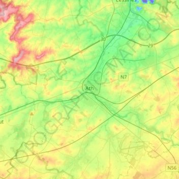
Name: Aat topographic map, elevation, terrain.
Location: Aat, Henegouwen, Wallonië, België (50.56246 3.65471 50.69745 3.91340)
Average elevation: 177 ft
Minimum elevation: -220 ft
Maximum elevation: 456 ft