
Lodomez topographic map
Interactive map
Click on the map to display elevation.
About this map
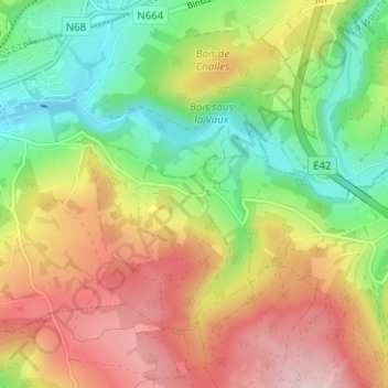
Name: Lodomez topographic map, elevation, terrain.
Location: Lodomez, Stavelot, Verviers, Luik, Wallonië, 4970, België (50.36530 5.94649 50.40530 5.98649)
Average elevation: 1,325 ft
Minimum elevation: 902 ft
Maximum elevation: 1,827 ft