
Moulin du Ruy topographic map
Interactive map
Click on the map to display elevation.
About this map
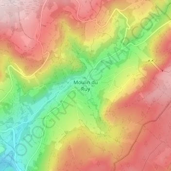
Name: Moulin du Ruy topographic map, elevation, terrain.
Location: Moulin du Ruy, Stoumont, Verviers, Luik, Wallonië, 4987, België (50.40448 5.86683 50.44448 5.90683)
Average elevation: 1,296 ft
Minimum elevation: 686 ft
Maximum elevation: 1,837 ft