
Grapeland topographic map
Interactive map
Click on the map to display elevation.
About this map
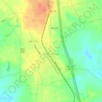
Name: Grapeland topographic map, elevation, terrain.
Location: Grapeland, Houston County, Texas, United States (31.47635 -95.49466 31.50906 -95.46554)
Average elevation: 463 ft
Minimum elevation: 387 ft
Maximum elevation: 548 ft