
Sint Maartensbrug topographic map
Interactive map
Click on the map to display elevation.
About this map
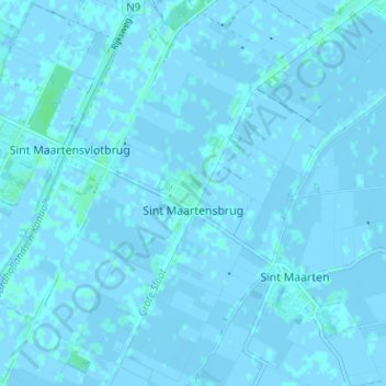
Name: Sint Maartensbrug topographic map, elevation, terrain.
Location: Sint Maartensbrug, Schagen, Nordholland, Niederlande (52.76272 4.69660 52.80111 4.75108)
Average elevation: 0 ft
Minimum elevation: -10 ft
Maximum elevation: 16 ft