
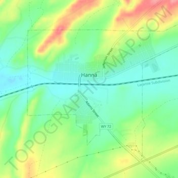
Hanna topographic map
Interactive map
Click on the map to display elevation.
About this map
Name: Hanna topographic map, elevation, terrain.
Location: Hanna, Carbon County, Wyoming, États-Unis d'Amérique (41.85407 -106.57719 41.88077 -106.53372)
Average elevation: 6,870 ft
Minimum elevation: 6,755 ft
Maximum elevation: 7,054 ft