
Ljungbyhed topographic map
Interactive map
Click on the map to display elevation.
About this map
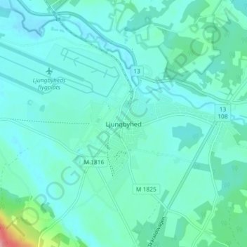
Name: Ljungbyhed topographic map, elevation, terrain.
Location: Ljungbyhed, Klippans kommun, Skåne County, 264 52, Sweden (56.05444 13.21356 56.09444 13.25356)
Average elevation: 157 ft
Minimum elevation: 105 ft
Maximum elevation: 459 ft