
Kaup topographic map
Interactive map
Click on the map to display elevation.
About this map
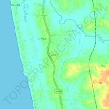
Name: Kaup topographic map, elevation, terrain.
Location: Kaup, Udupi taluku, Udupi district, Karnataka, 574106, India (13.21068 74.72840 13.25068 74.76840)
Average elevation: 33 ft
Minimum elevation: 0 ft
Maximum elevation: 125 ft