
Tinagong Dagat topographic map
Interactive map
Click on the map to display elevation.
About this map
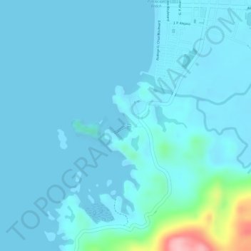
Name: Tinagong Dagat topographic map, elevation, terrain.
Average elevation: 52 ft
Minimum elevation: -7 ft
Maximum elevation: 538 ft
Other topographic maps
Click on a map to view its topography, its elevation and its terrain.
Cabadiangan
Philippines > Negros Occidental > Sipalay
Cabadiangan, Sipalay, Negros Occidental, Western Visayas, Philippines
Average elevation: 187 ft