
Jicarero topographic map
Interactive map
Click on the map to display elevation.
About this map
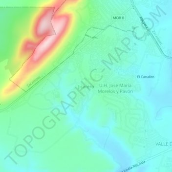
Name: Jicarero topographic map, elevation, terrain.
Location: Jicarero, Jojutla, Morelos, 62909, México (18.59668 -99.24241 18.63668 -99.20241)
Average elevation: 3,166 ft
Minimum elevation: 2,943 ft
Maximum elevation: 3,871 ft