
Gemeinde Güssing topographic map
Interactive map
Click on the map to display elevation.
About this map
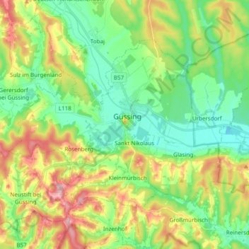
Name: Gemeinde Güssing topographic map, elevation, terrain.
Location: Gemeinde Güssing, Bezirk Güssing, Burgenland, 7540, Austria (47.01773 16.25322 47.09309 16.40340)
Average elevation: 860 ft
Minimum elevation: 653 ft
Maximum elevation: 1,227 ft