
Yeongi-myeon topographic map
Interactive map
Click on the map to display elevation.
About this map
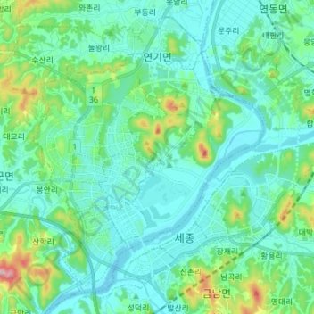
Name: Yeongi-myeon topographic map, elevation, terrain.
Location: Yeongi-myeon, Sejong, South Korea (36.45894 127.21215 36.55639 127.34760)
Average elevation: 207 ft
Minimum elevation: 26 ft
Maximum elevation: 1,027 ft