
Mount Stuart topographic map
Interactive map
Click on the map to display elevation.
About this map
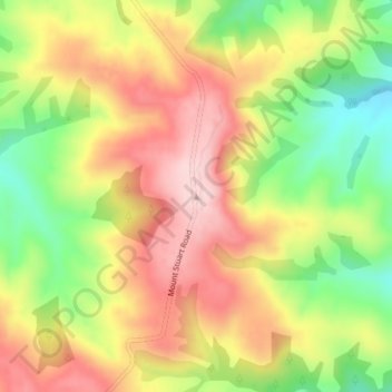
Name: Mount Stuart topographic map, elevation, terrain.
Location: Mount Stuart, Clutha District, Otago, New Zealand (-46.05627 169.77446 -46.05617 169.77456)
Average elevation: 1,033 ft
Minimum elevation: 587 ft
Maximum elevation: 1,424 ft